What is Visual Inertial Odometry?
Visual Inertial Odometry (VIO) is a technology that enables drones and other autonomous vehicles to accurately estimate their position and orientation in 3D space.
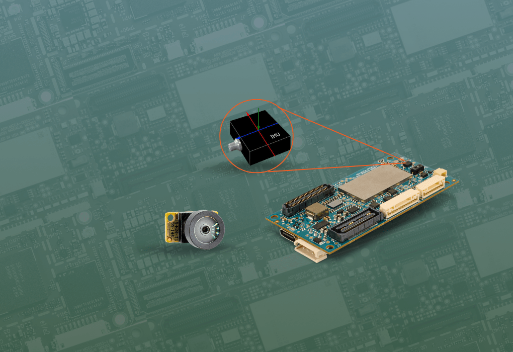
VIO fuses an image sensor and IMU data to estimate a change in position relative to where the drone started. Unlike GPS, VIO works both indoors and outdoors, making it ideal for drones to navigate in GPS-denied environments.
How drones use VIO for autonomous flight
VIO enables drones to:
- Navigate in GPS-denied environments
- Maintain stable flight in windy conditions
- Avoid obstacles
- Create 3D maps of their environment
- Follow pre-programmed paths autonomously
What's needed for VIO-enabled drone flight
DIY Route
For drone developers looking to build their own VIO-enabled drone, they'll need a mix of hardware including image sensors, inertial measurement unit (IMU) and a powerful companion computer to get started. Once the hardware has been installed, software, including a VIO algorithm, flight control system, and path planning / obstacle avoidance systems need to be developed.
Accelerated Route
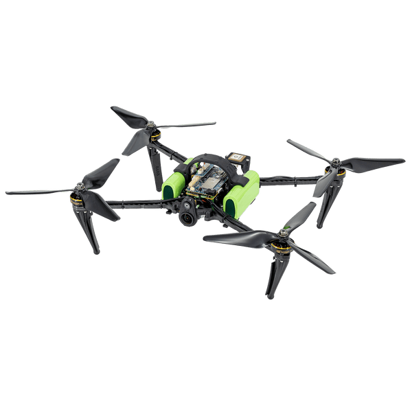
ModalAI VOXL autopilots and development drones come pre-configured with VIO, making it easy to start your next project.